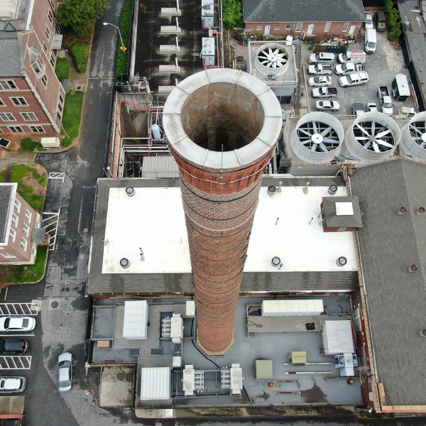
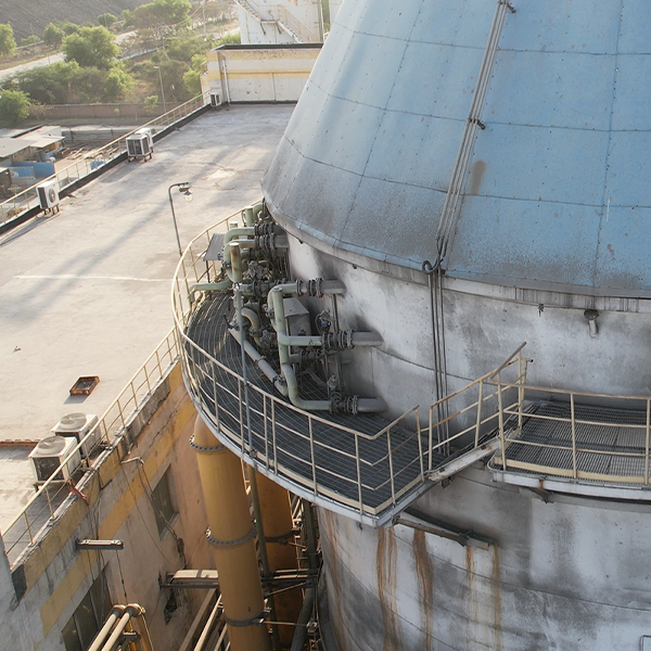
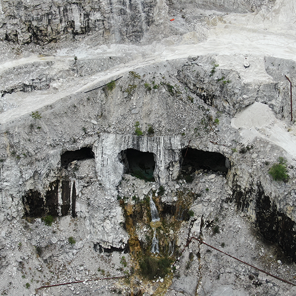
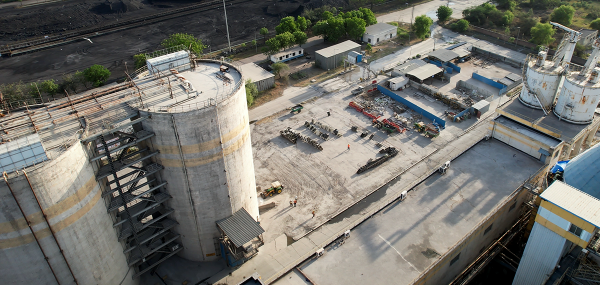
IA is dedicated to providing innovative inspection services that prioritize safety, efficiency and cost flexibility for our clients in the industrial sector and beyond. We offer a wide range of inspection tools and solutions that utilize numerous types of unmanned systems and remote sensors. Our FAA Commercially licensed drone pilots have the expertise to conduct thorough aerial, thermal or general industrial inspections to gather comprehensive data on the client’s asset.
IA maintains a network of professionals specializing in cutting-edge UAV (unmanned aerial) and ROV (remotely operated) tools and services to provide advanced inspection solutions even in the most unique and complex conditions. These devices offer capabilities that include high-resolution photo and video footage, digital zoom, 3D capture, various sensors (thermal, infrared, gas and methane, multi-spectral, LiDAR, bathymetry), AI systems, and more. Depending on the infrastructure and situation at hand, IA can select the most suited technology to inspect structures, detect defects and abnormalities, quantify assets, and ensure the safety and integrity of the plant infrastructure.
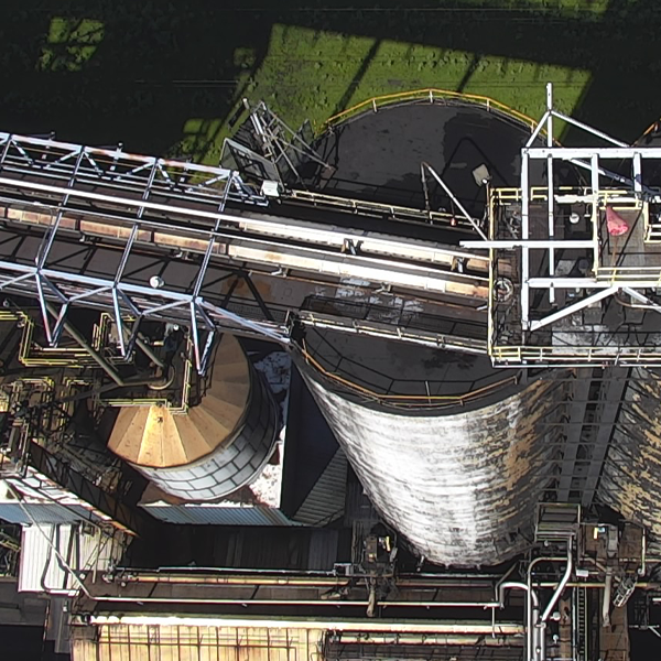
Exterior & Interior Inspections
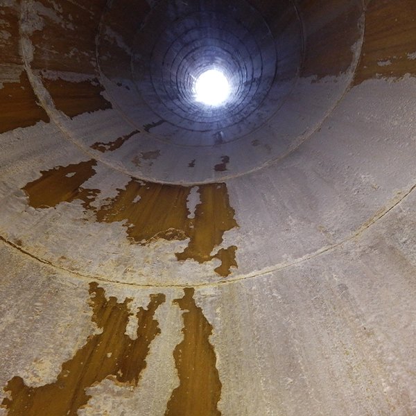
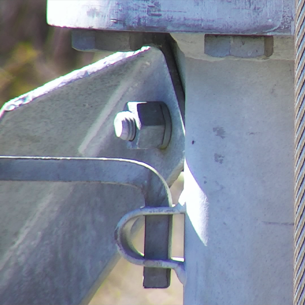
Our ELIOS drone features high collision-tolerance, on-board LED lighting, HD and thermal imagery cameras for 4K video recording, live video feed, as well as a post-mission data review. This technology is great for preliminary inspections and condition assessments of industrial structures, equipment and sites. It will spot cracks, deformation, oxidation, buildup, and other abnormalities, easily identifying developing issues before extensive damage can occur.
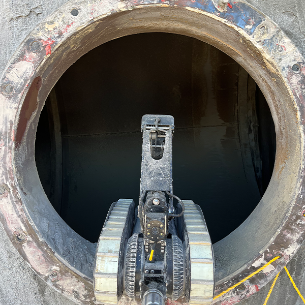
Confined Space Drone & Robot Inspections
HD camera drones and crawler robots specialize in inspecting unstructured, unpredictable and hard-to-access environments like ducts, culverts, pipes, tanks, etc. These ROV’s can navigate challenging conditions and deliver detailed visual data safely and efficiently.
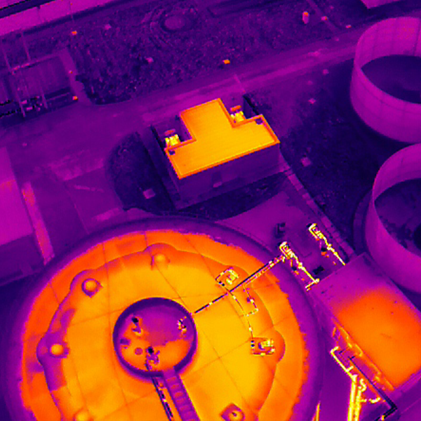
Thermal Inspections
Thermal imaging devices provide accurate monitoring of industrial structures to detect hot spots, insulation flaws, plate thinning, operational defects, gas leaks, fire risks, and more.
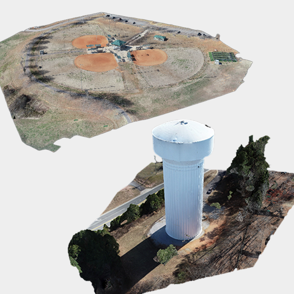
3D Mapping & Stockpile Volumetrics
Specialized drones in combination with advanced software can quickly and easily capture an orthomosaic of the facility site at a large aerial scale. They can collect precise mass and volume measurements, create 2D maps and 3D models of important assets and inventory (like bulk material, quarries, stockpiles) as well as structures and machinery (like chimneys, silos, ducts, buildings). Having these real-time detailed renderings and data of facility infrastructure allow for a better-informed decision-making.
Plant Wide Aerial Imaging
High-quality drones can capture HD and 4K aerial visuals of facility site and terrain real-time. This enables in-depth progress tracking, improved strategizing, and early detection of signs of concern.
Laser Scanning & Tours
Modern laser technology offers the capability to scan and generate accurate virtual 3D maps of facilities and its structures, indoor and outdoor. This photo-realistic digital 3D blueprint with precise real-time measurements and visuals provides expanded data that will enhance planning capacity and help the client manage complex projects.


